
SemanticGaps → The atlas

The atlas

Semantic Terrains of public institutional collections. Live terrains are free to explore, and each is a dated snapshot you can cite.

Show

About

4 terrains

Live

FAA Service Difficulty Reports

Federal Aviation Administration · Safety & engineering

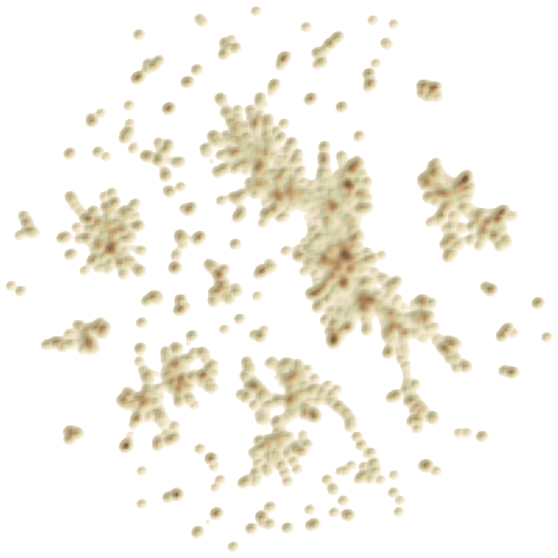
67,651 reports filed 1 Jan 2025 – 31 Dec 2025, gathered into 573 peaks across 22 continents. Mechanical reliability reports filed by operators and repair stations, organised by the failures and systems they describe.

Planned terrains

Department of Justice press releases

U.S. Department of Justice · Enforcement

Announcements from Main Justice and the U.S. Attorneys’ offices: charges, pleas, sentences and settlements.

Tell me when it is published

Federal Register

Office of the Federal Register · Regulation

The daily journal of the U.S. government: rules, proposed rules, notices and presidential documents.

Tell me when it is published

Microsoft Learn

Microsoft · Technical documentation

Product and platform documentation, organised by the services, tasks and concepts it covers.

Tell me when it is published

Need a collection we have not charted? Commission a Custom Terrain, or nominate a public collection for the atlas.

Positions are about meaning. Documents that are close together say similar things. Terrain coordinates are not latitude and longitude.

Height is how much is written. A tall peak holds many documents on one subject. It does not mean that subject is important, risky or true.

Each publication is a snapshot. Terrains are republished as their sources grow, and every snapshot is dated and citable. Peak History across snapshots arrives as terrains are republished.